Streetscaping and the Science of the Road
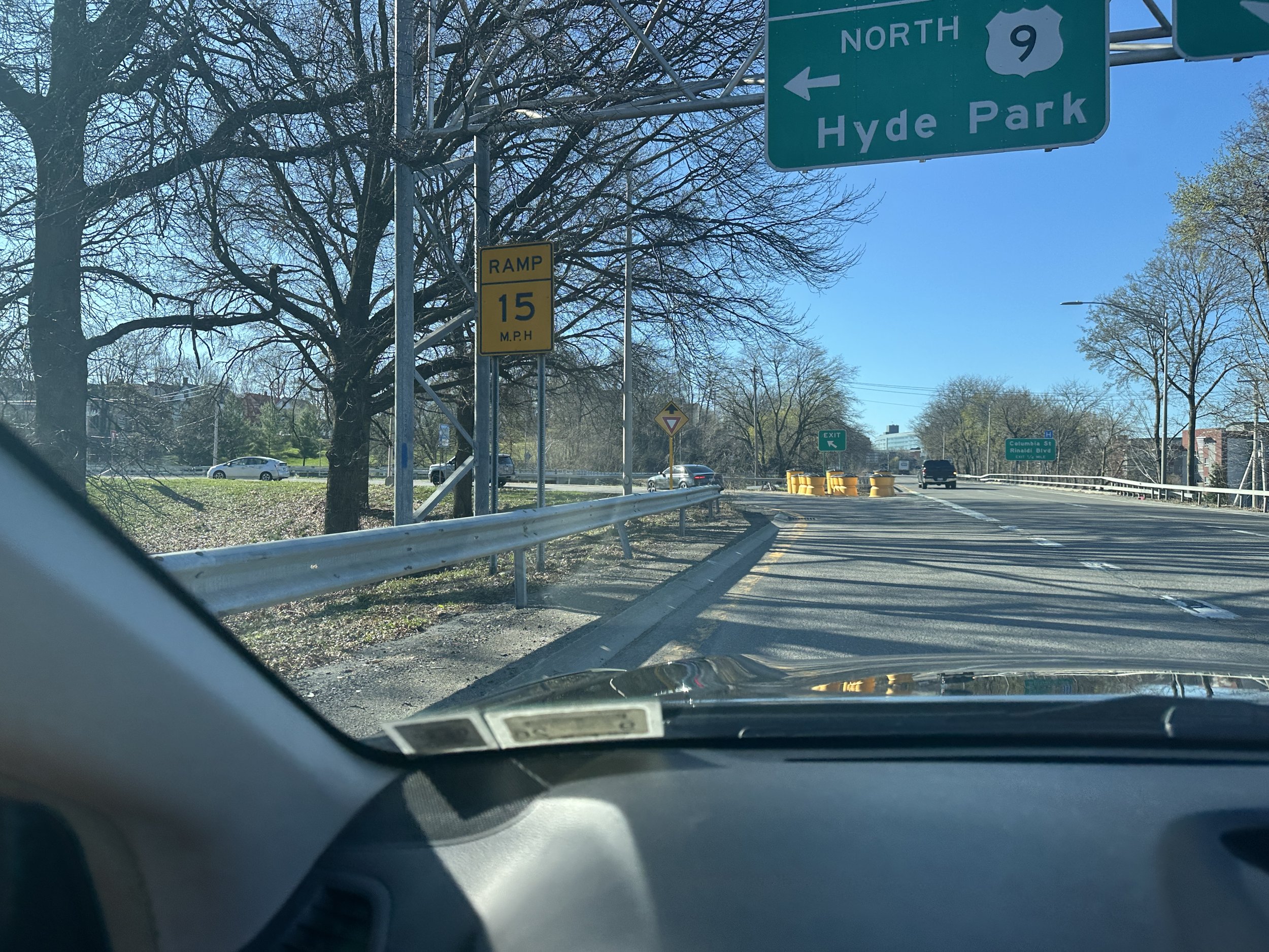
The 9/44/55 interchange has been a source of tension for many drivers near campus. Photo by Owen Whelan '27
Marist University and its surrounding area enable transportation through a variety of modes, primarily walking and driving. Beyond decisions to create roads are choices on where and how those roads are placed for pedestrians and drivers to promote efficiency, safety and environmental considerations on campus.
Streetscaping is the science and architecture behind planning, building and maintaining roads. It deals with how cars get around while also addressing pedestrian safety and environmental concerns. With its irregular shape and small size, streetscaping maximizes Marist’s usable land and creates natural safety benefits.
Elements of streetscaping are most visible in the planning of campus entrances and pathways to parking lots. The Marist M gate off of Route 9 in front of Lowell Thomas is exclusively for shuttles and golf carts, providing a consistent and safe entry point and giving these vehicles a dedicated lane. A large crosswalk space, rather than two crosswalk paths in front of Hancock, allows for pedestrians moving in different directions to take a more direct path to their destination while also decreasing wait times.
Curved roads, an element of streetscaping designed to slow down drivers, are critical for campus wellness and spacing. Edvard Beach Drive slows down drivers who pass right by Donnelly Hall, Tenney Stadium and first-year residence buildings, where pedestrians are likely to linger. The only large stretch of uncurved pavement is where John Winslow Road cuts through North End, a lower-pedestrian area already populated with ample sidewalks and parking.
Even when logically sound, the product of engineering roadways can leave much to be desired, especially when moving outside the Marist campus. The winding 9/44/55 interchange coming right off the Mid-Hudson Bridge, as one enters Dutchess County, is unwalkable and dangerous, resulting in two deaths and hundreds of incidents regarding property damage. Dutchess County has been actively considering updates to the interchange since 2020, with streetscaping considerations adding roundabouts and flyovers.
Understanding why and how the Marist area is streetscaped is crucial for safety. Traffic on campus and how Marist approaches the distribution of vehicles ultimately shows that what appears to be simple infrastructure is measured design intended to promote a safer, more efficient environment for all students, faculty and visitors.